From Fata Hiva we made the 45 mile trip to the village Atuona on the island of HIva Oa. Atuona and Taiohae on Nuka Hiva are the two main entry points for boats clearing into the Marquesas and the anchorage was crowded with new arrivals. A new experience for Christine, given the 1+ mile from the dinghy landing to town, she discovered the art of hitchhiking. We got a ride with a Frenchman on the way in and a a Finnish lady on the way out. As beautiful as it is, the anchorage was very congested and uncomfortable. The next morning we headed to the island of Tahuata. Hanamoenoa bay is the most popular anchorage on Tahauta. But it looked crowded on our first pass, so we continued to the village of Vaitahu. There was a multi-island football (soccer) tournament happening. A shoreside football filed was quite a view – you’d better make sure not to kick the ball too off. Ashore we found a small archeological museum and met Emily, a grad student from Boston. Helping with the English / French translation, her host-sister walked home and came back with two huge bags of fresh fruit. Refusing to take any money, we gave her a chocolate bar and a small golden pig Christine had from China. She was thrilled with the little pig – and we were equally thrilled with the fruits. The most amazing sight was the Catholic church in the middle of the village, stone arches, wooden windows and doors curved with Marquesans motifs – she was magnificent. We did another nice dive north of the village. Visibility was not as good as Fatu Hiva, but decent. We experienced for the first time swimming with thousands of fish – unreal. Sunday we moved back to Hanamoenoa bay to socialize with a couple of the boats we met in Fata Hiva. Well, it is crowded for very good reasons. Sendy beach, crystal water, and great snorkeling. The next morning we heard people in the water at 6:30am – and sure enough 3 or 4 giant manta rays were swimming in the bay. Monday afternoon we had the pleasure of welcoming our friends the Hamilton’s on Nordhavn Dirona, who arrived from Oa Pou. We had a great time catching up over a couple of Margaritas and will spend the next couple of days with them. It is somewhat Ironic that a chance meeting on our first outting on Gray Matter has now lead to a reunion two years later, 5000 miles from Roche Harbor. We are sitting in the southern most anchorage on Tahuata – just the two Nordhavns – waiting for the Nordhavn marketing team to arrive for the photoshoot. This morning before leaving with Dirona, we had special visit with the giant Manta Rays.right at Gray Matter. Christine befriended 4 or 5 of the giant manats, and swimming more than an hour together (with the go-pro camera) captured some great footage of these graceful rays. We are likely to have internet connectivity when we arrive in the Tuamotos Friday or Saturday and will be sure to upload the video. We’ve now been in the Marquesas Islands three weeks, at least once a day one of us says “can you believe we are here, this is really living the dream”. [google-map-v3 width=”350″ height=”350″ zoom=”7″ maptype=”satellite” mapalign=”center” directionhint=”false” language=”default” poweredby=”false” maptypecontrol=”true” pancontrol=”true” zoomcontrol=”true” scalecontrol=”true” streetviewcontrol=”true” scrollwheelcontrol=”false” draggable=”true” tiltfourtyfive=”false” addmarkermashupbubble=”false” addmarkermashupbubble=”false” addmarkerlist=”-9.9080,-139.1050{}cruiseship.png” bubbleautopan=”true” showbike=”false” showtraffic=”false” showpanoramio=”false”]
Category Archives: Uncategorized
Wall diving at Fatu Hiva
We had never seen any recommendation on diving at Fatu Hiva, neither travel guide or diving book ever mention here — just too remote. We found the most fabulous wall diving right at the Bay of Virgins. Sheer wall drops into 100+ ft, caves tuck underwater like giant cathedrals, tens of thousands fish … Plus 80+ft visibility and 80+F water temp. We could ask no more.
Here is a glimpse. Enjoy.
Good bye to Fatu Hiva
Leaving Fatu Hiva was not easy but after five beautiful days, we are now underway to Hiva Oa, the largest island in the Marquesas. We expect to reprovision there, make one more stop at Tahuata and then depart the Marquesas for the Tuamoto Islands.
When we met Dana Felecia in the Sea of Cortez, Sven said Fata Hiva is one of the most beautiful islands in the Pacific (after cruising 76,000 miles). Our expectations were sky-high and we were not disappointed. It has everything; great anchorage, cool breeze, great shore access, hiking with spectacular scenery and phenomenal diving. We’ll let the pictures do the rest of the talking.
Picturesque anchorage – Bay of Virgins.
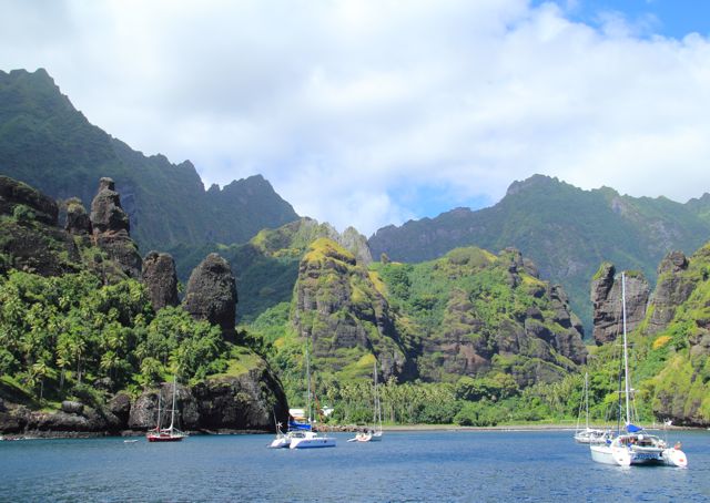
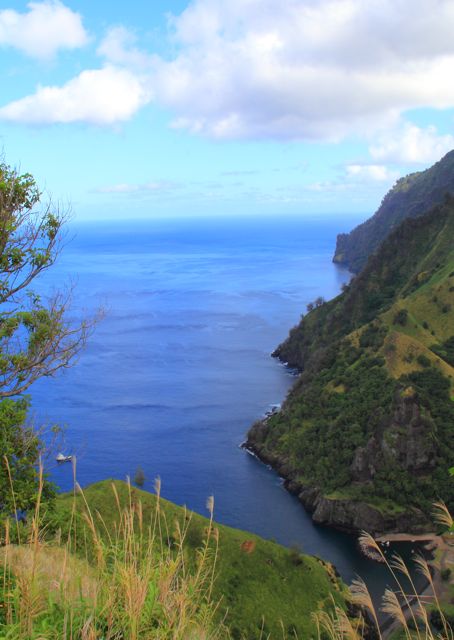
Continue reading
Fata Hiva
We arrived here Sunday morning after making the all night passage from Ua Pou. The passage had wind and waves on the portside, so we had a bit of a rough ride and with salt everywhere. Timed perfectly with our arrival, one of those tropical downpours fell like a car wash; sure enough after we anchored, the boat was squeaky clean. By all previous standards, this is a crowded anchorage – 6 boats. The only place to drop the anchor was in 100 feet of water, so we let out 350 feet of chain and haven’t moved in the last two days. There is a steady offshore breeze with occasional gusts (williwaws) which makes for the perfect temperature inside and outside. We were told by many that this is the most spectacular anchorage in the Marquesas and we definitely agree. Giant black lava rocks peak though lush mountain ranges; coconut trees cover cliffs surrounding the anchorage. With the scenery, the moderate temperatures, and clear water visibility, this is the place to stay. Yesterday, we tested a dive just on the north side of the anchorage. With visibility of 50+ feet, we were treated by a wall of coral and tropical fish in 84 degree water. We saw several octopus, gliding along crevices, quickly changing colors to fit in the environment. Eels stuck their heads out through rocky holes, checking us out. Deep down at 80 feet, I looked up along the sharp underwater cliff, thousands of silver trouts hovering right above – it felt like magic. We didn’t see any of the big fish (sharks, mantas) that are rumored to be here – will be looking for them on today’s dive. Last night, one of the boats in the anchorage coordinated with a local family to prepare a polynesian dinner. We joined 10 other cruisers (2 boats from Germany, 1 from Finland and 3 American boats) for chicken, fish, papaya salad, coconut milk, banana feast. Between the company and the bit of music the host provided at the end of the night, it was a unique and memorable experience to say the least. We have limited (Iridium) internet access, so will have to wait to post pictures. [google-map-v3 width=”350″ height=”350″ zoom=”7″ maptype=”satellite” mapalign=”center” directionhint=”false” language=”default” poweredby=”false” maptypecontrol=”true” pancontrol=”true” zoomcontrol=”true” scalecontrol=”true” streetviewcontrol=”true” scrollwheelcontrol=”false” draggable=”true” tiltfourtyfive=”false” addmarkermashupbubble=”false” addmarkermashupbubble=”false” addmarkerlist=”-10.4647,-136.6697{}cruiseship.png” bubbleautopan=”true” showbike=”false” showtraffic=”false” showpanoramio=”false”]
Polynesian experience
Wednesday morning we moved to Daniel’s Bay (Hakatea Bay), where Survivor was filmed. Having the whole bay to ourselves, we shot some “boat porn” (pictures of Gray Matter). Spending the rest of the day doing some small boat projects, we planned for a big hike to the Vaipo falls the next morning.
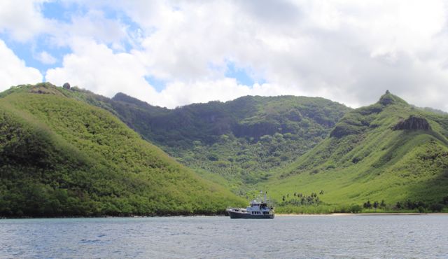
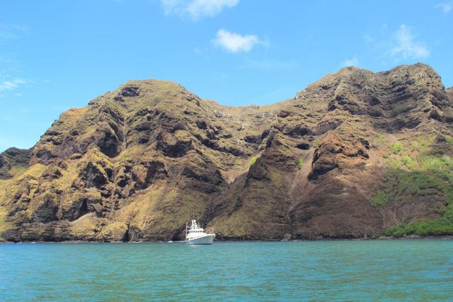
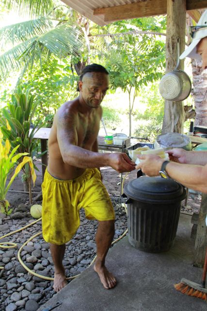
Thursday at 7:30am, we landed the dinghy at the mouth of the small river to begin the 2-hour hike to one of highest waterfalls in the world – 350 meters – 1000 feet. The trail started and went through a small Marquesas village here. The locals were known for their warmth and hospitality. Walking by the first house on the trail, we were greeted by Tiki, inviting us for some fruit and drink. Anxious to get on the hike, we told him we would stop by on the way back.
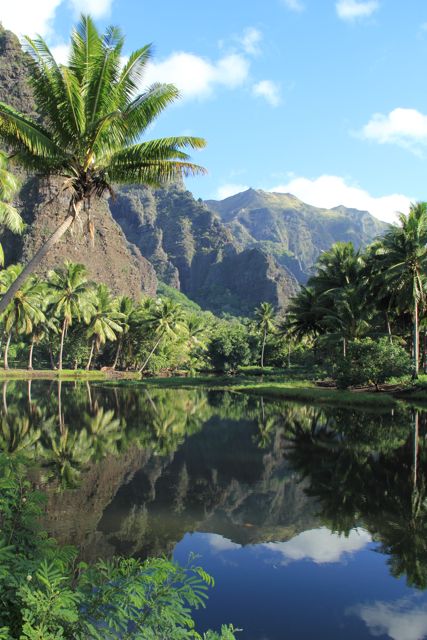
Paradise.
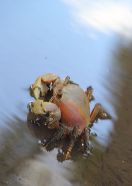
Coconut crab.
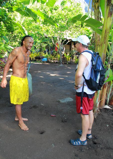
Tiki greeting us at his front door.
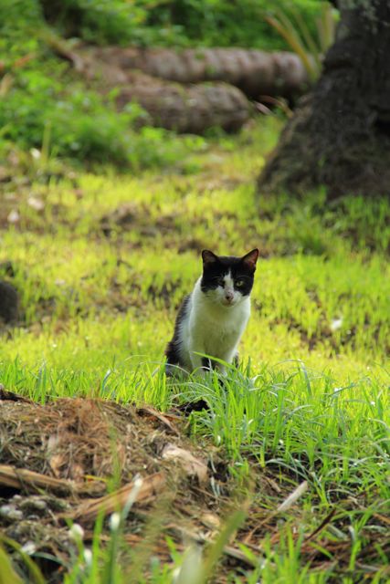
A friendly kitty.
Trail through the village.
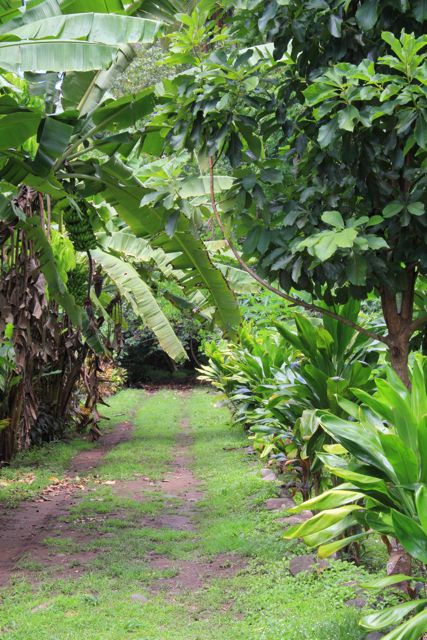
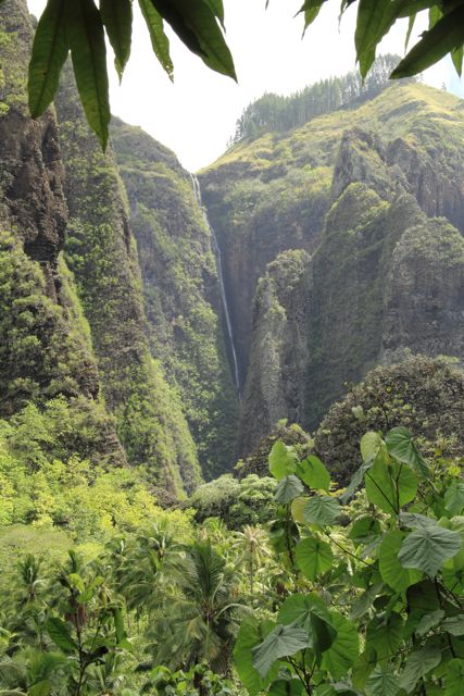
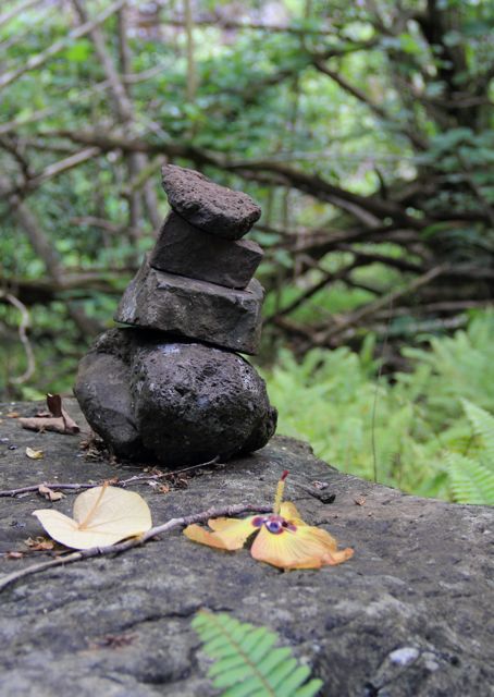
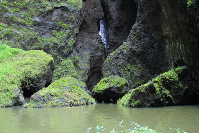
The 3.5 hour round trip hike proved all we could ask for in the way of adventure. Lush tropical forests, fresh water stream crossings and finally the spectacular Vaipo falls. Think of Yosemite before it was a national park. The trail was marked with small rocks stacked on each other; otherwise you are on your own.
A glimpse of the fall.
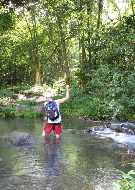
Many river crossings. Keen shoes are made for this hike.
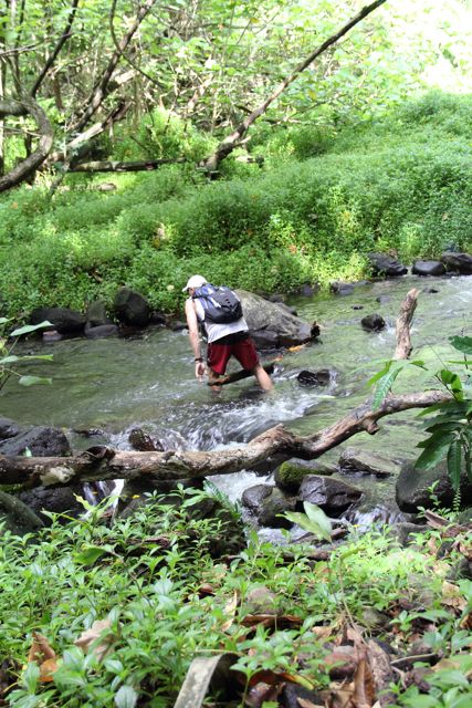
At the moment of this shot, Christine has no idea that 100+ mosquitos were feasting on her feet.
Trail marker.
At the falls, Christine took a refreshing swim, and then we were soon on our way back, hoping to get back on the boat before noon.
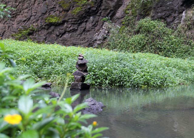
Stones at the fall.
Water was refreshing.
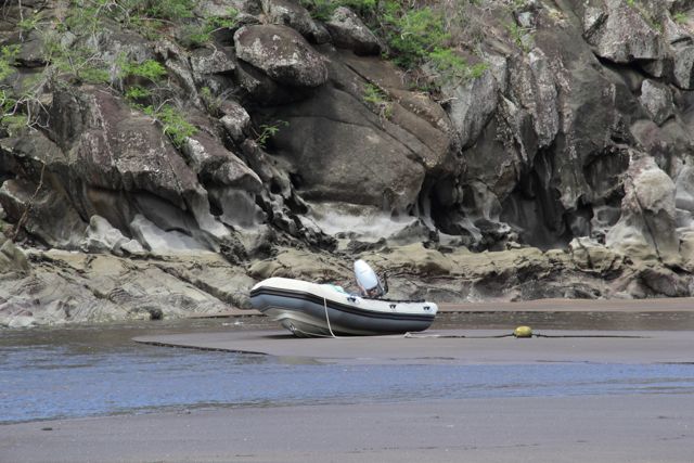
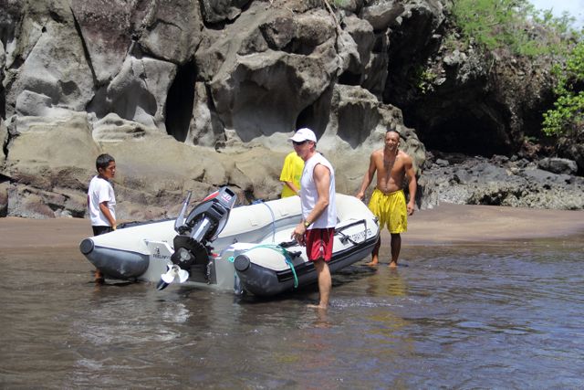
Returning to the beach, we found our 350 pound dinghy high and dry with high tide another 5 hours away. We pushed it over the sand by putting the wooden oars under it – and managed to get it into the river – it took us half an hour to move this 20 feet and there was no way we could move it the remaining 50 feet to the surf line.
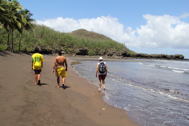
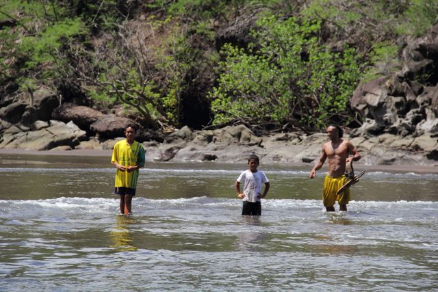
Desperately, we walked back to Tiki’s house and asked for help. “No problem”, Tiki put off his work – hauling coconut bags around (31 a bag). They kindly offered us a fresh grapefruit (the most delicious ever) and some water. Then Tiki grabbed his machete and asked the two boys (ages 8 and 14) to follow. When we got to the dinghy, Tiki asked the boys to grab each side, and then put the bowline around his waist. He jerked the line and the boat floated right out of the mud. He just walked out to the surf, towing the dinghy like it was a toy. We got back to Gray Matter, still couldn’t believe what had happened. As Christine said – there are men, there are real men and then there is Tiki.
[google-map-v3 width=”350″ height=”350″ zoom=”7″ maptype=”satellite” mapalign=”center” directionhint=”false” language=”default” poweredby=”false” maptypecontrol=”true” pancontrol=”true” zoomcontrol=”true” scalecontrol=”true” streetviewcontrol=”true” scrollwheelcontrol=”false” draggable=”true” tiltfourtyfive=”false” addmarkermashupbubble=”false” addmarkermashupbubble=”false” addmarkerlist=”-8.9454,-140.1646{}cruiseship.png” kml=”http://www.n62graymatter.com/map/NukuHiva.gpx” bubbleautopan=”true” showbike=”false” showtraffic=”false” showpanoramio=”false”]
Circumnavigating Nuku Hiva
We’ve now spent a week in the Marquesas Islands, and have been relaxing (and not posting). We spend a couple days at Taiohae, the main village on Nuku Hiva, cleaned up and provisioned Gray Matter with tropical fruits and French bread.
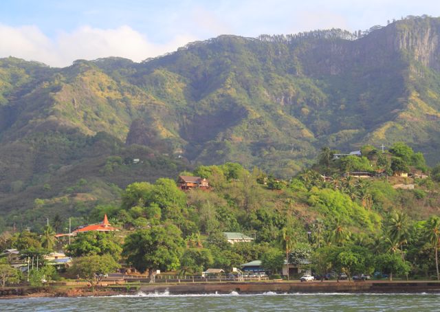
Taiohae in the morning sun.
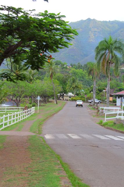
The main road
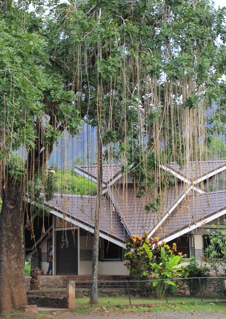
The bank.
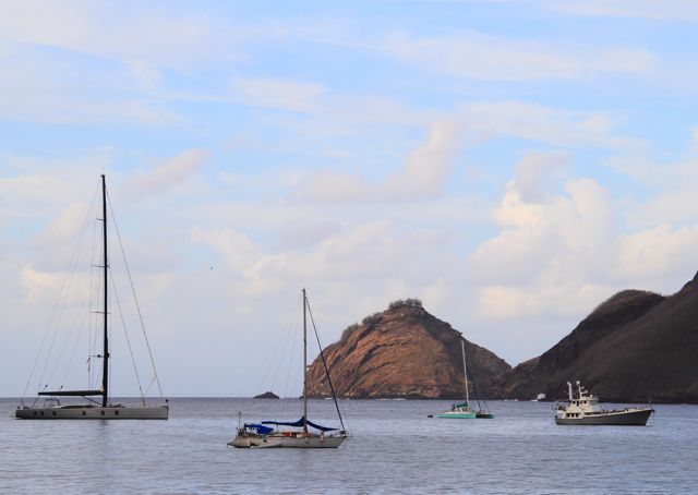
Taiohae anchorage. Next to the 146-foot Sarassa, Gray Matter looks small.
Morning market.
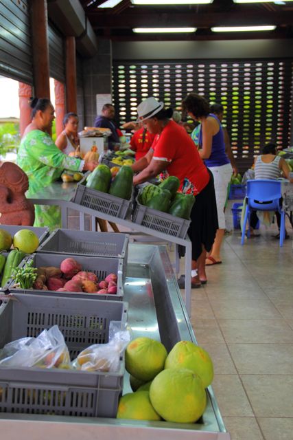
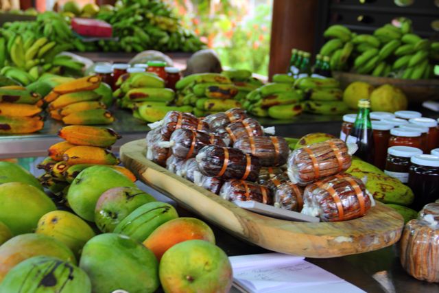
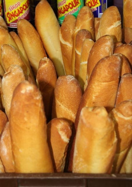
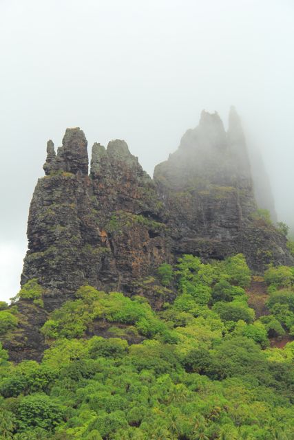
When a southeast swell rolled into the anchorage, we decided to explore other anchorages on Nuku Hiva, in hope of smoother water. On Wednesday, we went around to the north side of Nuku Hiva and anchored at Pou and Hatiheu. The landscape at each anchorage is majestic, with sharp rainforest mountains reaching 2000 feet from sea level. The first anchorage had a small plantation and the second anchorage Hatiheu, the writing home of Robert Lewis Stevenson. Unfortunately, neither anchorage was very smooth. On Friday, we set “sail” for the uninhabited out islands – Eaio (yes all vowels) and Hatutu.
Odyssey at Pou.
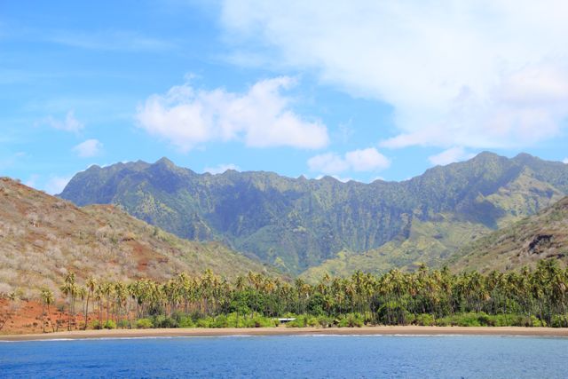
Spectacular mountain peaks at Hatiheu.
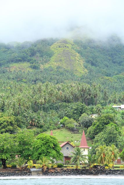
Hatiheu’s iconic church.
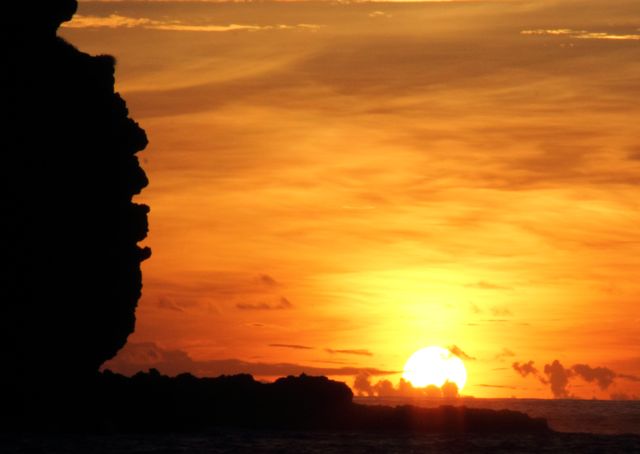
The anchorage at Eiao was directly on the leeward side, good chance to be sheltered from wind and well. It was spectacular and 20+ giant Manta rays glided right next to the boat as we pulled into the anchorage. To our surprise, swells still wrapped around and made their way into the anchorage. As this is the only anchorage among these out islands, we stayed – good thing we still have our sea legs.
Sunset at Eiao.
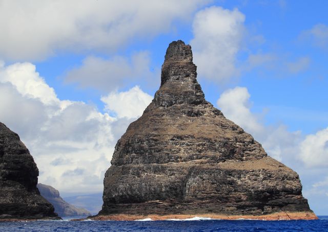
After rock & roll all night, we got underway first thing the next morning, to visit the Indian Rock on the north tip of Hatutu. This route is primo fishing and we weren’t gonna pass on this opportunity. We put three lines in the water plus two decoys. Action started soon enough – we trolled right through a feeding frenzy. Something HUGE hit the decoys (which have no hooks) breaking the 150lb test line. All three rods got hit the same time. The spinning rod was running out so fast – we had no hope to save the line there (it’s only 30lb test). Christine put the boat in slow idle and jumped on the marlin lure, while I were reeling in the feather lure. Giving each of the fish some line to run so they are tired when they get to the boat, the first fish in the boat was a 20lb Rainbow Runner (jack family – very eatable), and the second was a smaller 15lb Yellowfin tuna. Feeling lucky we put the lines back out and hooked another two fish at the same time, one got off, and we got a second 15lb Yellowfin. With three fish to clean we decided we’d take a rest. The freezer is fully packed now.
The Indian Rock. Supposely great diving, but the condition was too rough.
Arriving just at sunset, we finally found a smooth anchorage on the north side of Nuku Hiva – Anaho. This is truly a paradise. 3-4 beach houses tucked in sandy beaches and spectacular mountain ranges. Sunday morning we explored with the paddleboards and then enjoyed a scuba dive off the anchorage. With 86+F water temperatures, it’s a pleasure to dive without any wetsuits.
Approaching Anaho at sunset.
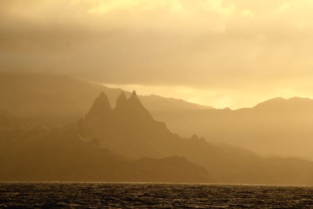
Best anchorage on Nuku Hiva, Anaho.
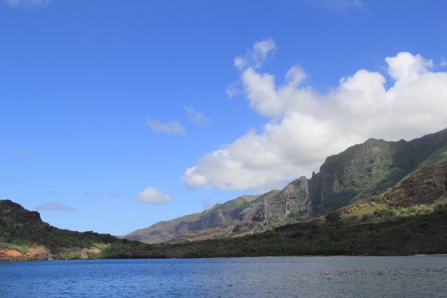
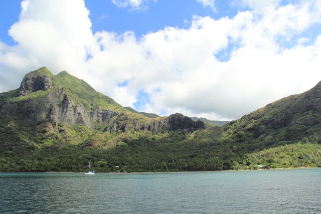
We plan to get fuel in Taiohae Monday or Tuesday and then continue to explore the other islands.
[google-map-v3 width=”350″ height=”350″ zoom=”7″ maptype=”satellite” mapalign=”center” directionhint=”false” language=”default” poweredby=”false” maptypecontrol=”true” pancontrol=”true” zoomcontrol=”true” scalecontrol=”true” streetviewcontrol=”true” scrollwheelcontrol=”false” draggable=”true” tiltfourtyfive=”false” addmarkermashupbubble=”false” addmarkermashupbubble=”false” addmarkerlist=”-8.8198,-140.0644{}cruiseship.png” kml=”http://www.n62graymatter.com/map/NukuHiva.gpx” bubbleautopan=”true” showbike=”false” showtraffic=”false” showpanoramio=”false”]
Pacific Crossing Summary
We have a wifi internet connection, so we were able to review all the blog posts – thanks very much to our friends – we were definitely not alone out there.
To add some pictures and comments on the projects.
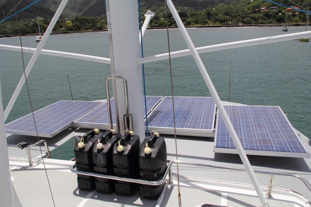
The solar project has been a great success. We are producing between 2.2 – 3.1 kwh per day – which is at the high end of our expectations. This will easily allow us to only need 1 hour of generator per day when at anchor.
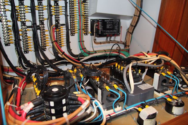
Blower wiring project, we just post a picture of the 230v AC wiring – we had to sort our way through that maze to wire the port side blower to the inverter. We had a good instructor – Melt Emms from Raven Marine – available by email and sat phone when we need him.
Flopper stopper repair
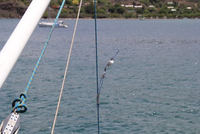
Old version
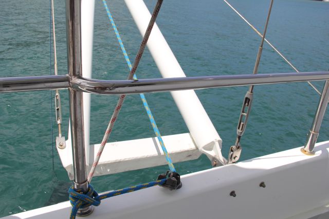
New version
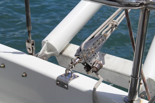
Another view – note the bird repellant at the end, which would be sticking up on top when flopper stopper is retracted.
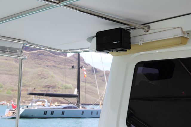
Newly installed Bose speaker – and the 100ft sailboat that is our neighbor here in Nuku Hiva.
Trip Stats: Total distance: 2676 nautical miles, average speed: 7.5k, fuel burn: 3.5 gph, engine hours: 361, total fuel consumed: 1278 gallons, fuel remaining: 895.
Trip started from Isla San Benedicto, MX.
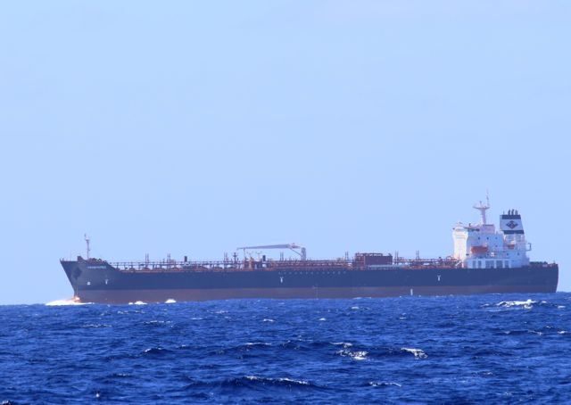
We saw this cargo ship (China – Peru) on Day 4, and she was the last ship we saw before landfall at Nuku Hiva.
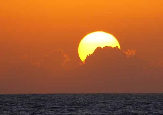
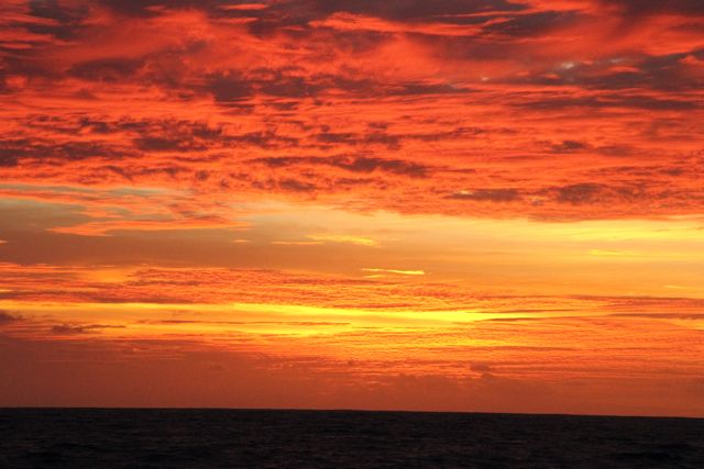
Last sunset in the northern hemisphere.
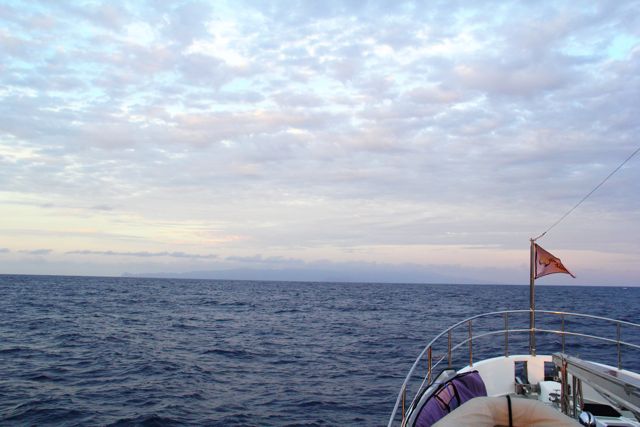
Sunrise as we approach Nuku Hiva.
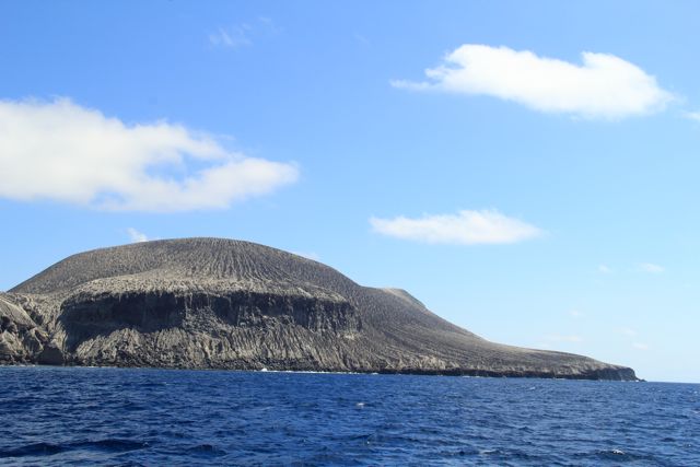
First sight of land after two weeks! Nuku Hiva, here we come.
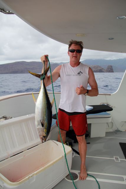
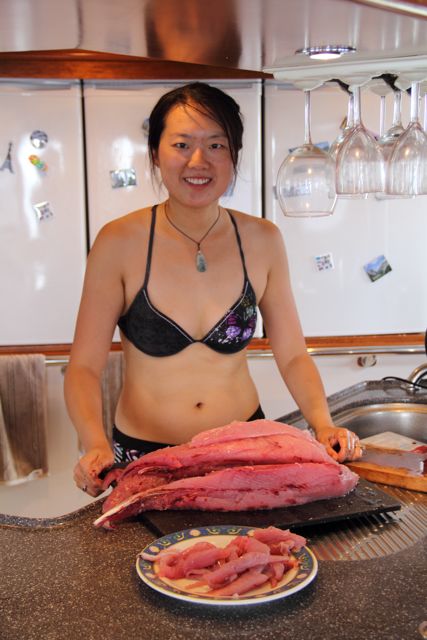
We hooked a decent yellowfin tuna on the way in. Our biggest catch so far.
A very productive catch.
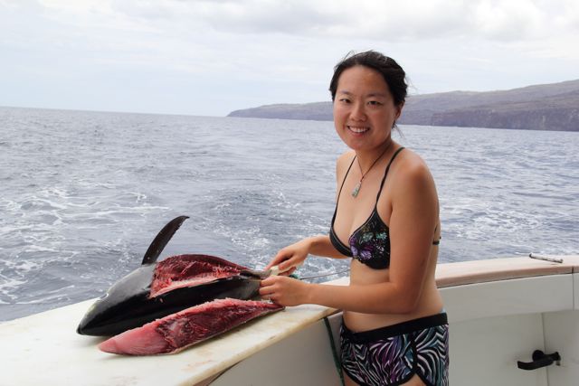
Dinner for weeks …
Just a few thoughts on the passage. We noted during the passage, we passed time by looking at the world cruising routes and contemplating some of the other places in the world to visit. The 2600 miles from North America to the Society Islands is one of the longest passages without landfall in the world. It would be an understatement to say we feel a sense of accomplishment to complete this passage with so little to worry about.
It’s a credit to Nordhavn’s voyaging under power philosophy in that two of us can take a 100 ton boat 2600 miles across one third of the Pacific Ocean. We were able to deal with the small mechanical issues, fix a few small things and arrive so rested we toured an extra 50 miles; caught and cleaned a 30lb tuna; anchored and didn’t even take a nap. I can honestly say the boat is as good if not better condition then when we left.
We truly feel we can go anywhere in the world we want, and look forward to many more adventures.
[google-map-v3 width=”350″ height=”350″ zoom=”7″ maptype=”satellite” mapalign=”center” directionhint=”false” language=”default” poweredby=”false” maptypecontrol=”true” pancontrol=”true” zoomcontrol=”true” scalecontrol=”true” streetviewcontrol=”true” scrollwheelcontrol=”false” draggable=”true” tiltfourtyfive=”false” addmarkermashupbubble=”false” addmarkermashupbubble=”false” addmarkerlist=”-8.9155,-140.10010{}cruiseship.png” bubbleautopan=”true” showbike=”false” showtraffic=”false” showpanoramio=”false”]
Pacific crossing D14 – Anchored!
08.54.935S / 140.06.018W Quick update – we are safely anchored in Taiohae harbor in Nuku Hiva, Marquesas with at least 15 lbs of fresh Ahi Tuna in the frig. We will write a longer blog post on the final data for the trip and a few pictures – first the champagne and sashimi.
Pacific crossing D13
06.66.371S / 127.52.248W – 173 miles and 23 hours to Nuku Hiva. We traded emails with the bonding agent in Papeete, and she advises Monday is a holiday and we will have to wait until Tuesday to clear into French Polynesia. The procedure is to anchor and fly the yellow “Q flag” for quarantene, which means we need to stay on the boat. Given our predicted arrival Monday morning, and the possibility of being stuck on the boat, we decided to “do a lap” around Nuku Hiva which is about 50 miles. It also should present an opportunity to restock the frig with some fresh fish – hopefully a tuna or dorado. Our fishing guru did “advise” that there are Blue Marlin in the area which range from 300 pounds for a small one to 1000 pounds. His advice – if we hook one, turn the boat around and chase it. Hard to imagine landing a fish that weighs more than Christine and I together. We’re ready. Just a few perspectives before we arrive. We logged 2500 miles on the trip to Mexico and exploring the Sea of Cortez and this trip will be 2700, 5200 miles in 3 and half months. Distance to Brisbane assuming some deviation and exploring is 5000 miles, meaning we have done roughly half of our total mileage for the trip, and 6 months remaining. The distance across French Polynesia from the Marquesas to Bora Bora is 1000 miles and we plan to spend the next 3 months exploring. We are gearing up for less passagemaking and more hanging out. A few technical details of which we will post in total after our arrival – we expect to run the main engine 350 hours – over 2700 miles for 7.7k average. We have averaged 3.5gph, and have had the benefit of 1k current for 8 of the 13 days. We have used the cruise generator for cooking and have kept the batteries charged with the solar and engine alternator – we have only run the main generator 3 hours since leaving Cabo San Lucas. Next post will include the landfall report. [google-map-v3 width=”350″ height=”350″ zoom=”7″ maptype=”satellite” mapalign=”center” directionhint=”false” language=”default” poweredby=”false” maptypecontrol=”true” pancontrol=”true” zoomcontrol=”true” scalecontrol=”true” streetviewcontrol=”true” scrollwheelcontrol=”false” draggable=”true” tiltfourtyfive=”false” addmarkermashupbubble=”false” addmarkermashupbubble=”false” addmarkerlist=”-6.9192,-137.8669{}cruiseship.png” bubbleautopan=”true” showbike=”false” showtraffic=”false” showpanoramio=”false”]
Pacific crossing D12
04.45.662S / 135.38.442W 359 miles from Nuku HIva Yesterday’s excitement was visually spotting a cargo ship. Our radar is set on 24 miles range, but with thunderstorms it’s hard to tell boats from rain clouds without a lot of adjustment to the gain setting. Not to mention, when you go 14 days without seeing another vessel, you don’t fiddle much with the radar gain. AIS provides us longer range. At the time we were taking a break on the back deck of the pilothouse and I looked over the horizon – definitely a man-made object sticking up. We verified the Coral Opal on the AIS system – at 8 miles. Christine made the radio call and they acknowledged our position. They passed 6 miles behind us. AIS showed the destination Dailiang China – sure enough if you draw the great-circle route on Google Earth from Southern Chile to Northern China – it passes about 600 miles north of the Marquesas. As we near the end of our passage, we want share a glimpse of our non-boat activities. Except for our responsibilities to run the boat; this is truly a life without schedules, commitments, obligations and demands. The weather has been good and having adapted to the motion of the boat, and thanks to the Kindle we have plenty to read. A good part of our daily conversation revolves around our book d’jour, and with but one companion to discuss our literary enlightenment – imagine the conversations over the respective reading lists: Mark: Herman Melville “Typee”, John Grisham “The Racketeer”, David Hodge “Idiot’s Guide to Guitar”, Joshua Slocum’s “Sailing Alone Around the World”. Christine: Higgins and George “The Neuroscience of Clinical Psychiatry”, Blair, Mitchell and Blair “The Psychopath: Emotion and Brain”, Hal Blumenfeld “Neuroanatomy through Clinical Cases”, Davis Buss “The Evolution of Desire”, Clay Coleman “The Certified Diver’s Handbook”. We’re going to swap books for the remainder of the trip. Reference Material: Warwick Clay “South Pacific Anchorages”, Jimmy Cornell “World Cruising Routes”, Hinz and Howard “Landfalls of Paradise”, Lonely Planet “South Pacific and Micronesia”, Kurt Amsler “The French Polynesia Dive Guide” [google-map-v3 width=”350″ height=”350″ zoom=”7″ maptype=”satellite” mapalign=”center” directionhint=”false” language=”default” poweredby=”false” maptypecontrol=”true” pancontrol=”true” zoomcontrol=”true” scalecontrol=”true” streetviewcontrol=”true” scrollwheelcontrol=”false” draggable=”true” tiltfourtyfive=”false” addmarkermashupbubble=”false” addmarkermashupbubble=”false” addmarkerlist=”-4.6585,-135.5357{}cruiseship.png” bubbleautopan=”true” showbike=”false” showtraffic=”false” showpanoramio=”false”]